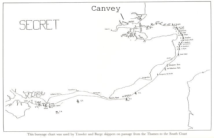
Secret Buoyage Chart showing route almost from Canvey to Caen!
The Secret map below shows how any Thames Barges would have made their way past the Shoebury boom (still there!) round to the South Coast where they gathered for the massive D-Day invasion.

Secret Buoyage Chart showing route almost from Canvey to Caen!
Not conclusive evidence but
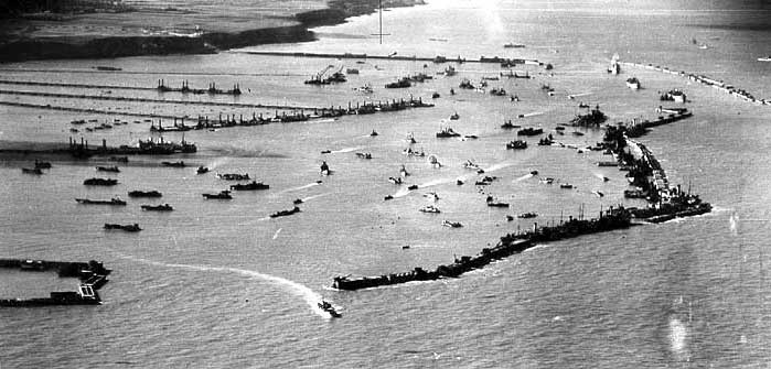
Concrete Definitely played a major part in the D-Day landings! Below is a photo
of a complete Mulberry Harbour during the D-Day invasion at Normandy.

Can you spot a FCB?

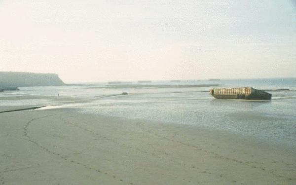
Normandy today with that familiar Concrete Ribbed Construction - The FCB's big
brother!
Click on the Above picture for NEXT Page
For an excellent explanation and account of Mulberry Harbours click on the picture below..